
Cycling Route from Felmingham
Toilets
Parking
The Banningham Crown
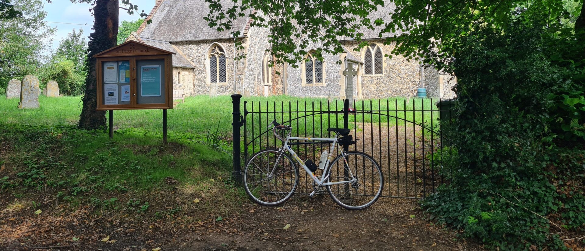
The first thing you’ll notice about St Andrew’s Church is its massive bulky tower. The tower dates to the 15th century and houses a ring of nine bells but the rest of the church was rebuilt in the 1740s on a smaller scale following a fire. Imagine the size of the original church! The tower arch has a glass and wood-framed screen completed in the 2000s which depicts scenes from nursery rhymes and the life of St Andrew. The font is made of Purbeck stone and dates from the 13th century. The modern glass in the east window came from St Philip’s Church in Norwich, which was destroyed during the Blitz, and depicts Christ prior to his Ascension. The communion table dates from the early Stuart period (c.1600). The earliest gravestone still visible in its original position dates from 1719 and is the grave of William Talman. He lived at Felmingham Hall and was Royal Architect to the court of William and Mary and the architect of some of England’s finest houses, including Chatsworth in Derbyshire. It is sited in the area to the east of the chancel.
There are toilets in this church.

From the car park of Felmingham, St Andrew turn left and continue for around 2 miles passing under a bridge of the dismantled railway. Now it forms part of the Weaver’s Way, a 61 mile footpath from Cromer to Great Yarmouth. You will reach a crossroads, with a sign pointing right towards Burgh. Turn right here onto Church Road and All Saints’ Church, Skeyton will appear on your right.

All Saints’ Church occupies a commanding position overlooking the surrounding fields. Apparently on a clear day you can spot the spire of Norwich Cathedral. The village of Skeyton comprises a handful of scattered farms. All Saints’ Church dates from the 13th century and has been subject to sympathetic 19th century restoration. The box pews were removed in 1846 and replaced with benches. The font and tiled floor also date to this time. Notice the cast iron Victorian Royal Arms.

Leave Skeyton, All Saints turning right. Continue for about a mile, crossing the King’s Beck River from which the benefice takes its name, and turn left at the crossroads with the sign pointing left to Buxton and Brampton. Continue for half a mile and turn first left towards Oxnead. St Michael’s Church is situated on the right of the lane and you will see a path through the trees before you reach the hall.

Oxnead Church is a hidden gem, nestled next to Oxnead Hall just north of the River Bure. The hall was the principal home of the Paston family, famous for the Paston Letters which form an important collection of correspondence between 1422 and 1509. The large buildings you can see today comprise the east service wing, north wing, cellars and barns which puts the scale of the original estate into perspective. At its peak the hall had 79 rooms. The church houses Paston monuments in its chancel, including the splendid effigy of Sir Clement Paston (d. 1597), who built the hall, with his wife Alice kneeling below. The adjacent monument commemorates Lady Katherine, wife of Sir William Paston, with a serene bust and epitaphs in Latin and English.

St Michael and All Angels, Oxnead
The Aylsham Navigation opened in 1779 and enabled goods to be carried by wherries on the River Bure between Aylsham and Coltishall. Locks were built to bypass the watermills and some sections of river were straightened to provide a more direct route. At Oxnead a new cut bypassed the mill, leaving the course of the river just after Oxnead Bridge and rejoining the course downstream of the mill. The mill stands across the course of the old river, with the straight new cut to the south. It dates from 1851 but there has been a mill here since before the Domesday Book was written in 1086. It has been a flour mill, a paper mill and for a brief time it made blankets. It closed in the 1950s. The remains of the old lock can be seen from the footpath. At its peak up to a thousand boats were using the Navigation in a single year. It had fallen into decline by 1880, particularly after the introduction of the railway to Aylsham. In August 1912 a devastating flood destroyed all the locks and bridges along the Navigation and silted up the river.
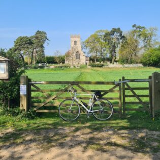
Leave the church, then turn left at the T junction and over the River Bure, noticing the old mill. Turn first right onto The Street and continue through the village of Brampton until you arrive at Brampton, St Peter. You may be able to hear a steam engine passing close by on the Bure Valley line from Aylsham to Wroxham.
St Peter’s Church is one of Norfolk’s 124 round tower churches. It sits a short distance away from its village on a small promontory above the River Bure. The round tower dates back to late Norman times (1066-1088) although the thickness of tower walls seems to indicate that the tower may have Saxon origins. The church has been the centre of religious life in the village for over 900 years. The simple interior is bright and airy. An elaborate memorial in the nave states that the body of Margaret, wife of Thomas Beevor, lies beneath the aisle.

Leave the church and cycle through Brampton, taking the same route back, pass the turning to Oxnead and up to the crossroads. This time cycle straight over and continue for just over a mile. You will see Tuttington, St Peter & St Paul on your right.

The tower of St Peter & Paul’s Church was probably built soon after the Norman Conquest of 1066. The upper section was altered in the early 13th century. The spire was built in 1740. Inside by the main door is a doorway to the staircase leading to the room over the porch, known as a parvise. Lions, roses and the Instruments of the Passion adorn the 15th century font. Fragments of medieval glass can be seen in the tracery of the nave windows. Notice the hour glass stand by the pulpit! Of particular interest are the medieval pew ends which include carvings of an elephant and howdah, a woodwose, a cat, a fox with a goose, and a griffin attacking a man.

St Peter and St Paul’s, Tuttington
Leave the church turning left and left again onto Beck Lane. Take the second left, after around a mile, and continue to the T junction. Turn left and after half a mile you will see Felmingham, St Andrew on your right. For refreshments nearby, the Banningham Crown is a popular traditional pub serving home-cooked meals.